About the Group
Public Description
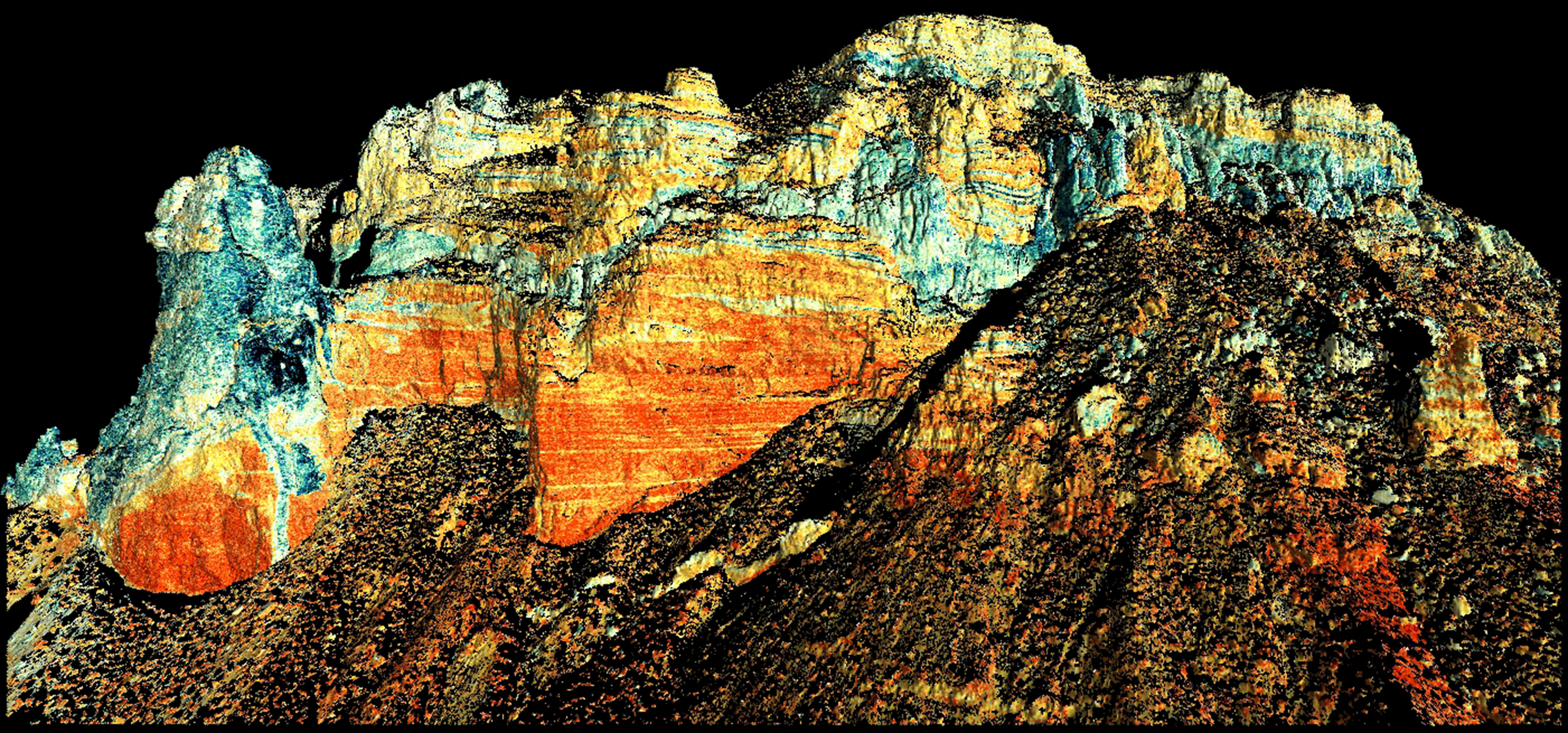
Terrestrial Laser Scanning (TLS) was performed on two areas in the San Rafael Swell Area in Utah. Campaign #1 was executed during may/June of 2010 near Cedar Mountain and East Cedar Mountain. Campaign #2 was executed in May of 2011 around the commonly-named TT-conduit feature. The purpose of these missions was to map the volcanic features associated with two unique sill-dike-conduit systems in order to 1) visualize the physical relationships between volcanic dikes, conduits, and sills, and 2) to make direct measurements of conduit geometries (areal, cross-sectional, and volumetric).
Characterization of these exceptionally well-exposed volcanic features will provide the scientific community with much needed insights into the processes operating in the subsurface during eruptions and will provide the modeling community with geological constraints on input parameters common to models of conduit flow and volcanic eruptions.