
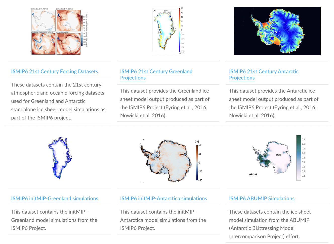
The datasets listed below are only suggestions, and fulfill the requirements that they are publicly available and used by ISMIP6 members in initialization of ice sheet models. If you have datasets that you would suggest adding, please let us know! Note: The list was compiled in ~2016 at the beginning of ISMIP6. The ISMIP7 initiative will incorporate a larger repository.
Note that the CMIP5 and CMIP6 climate datasets used by ISMIP6 for its projections are distributed via Ghub on the Browse Data. Please reference the Globus instructions to access these datasets. These are freely available.
Greenland data
Surface elevation
Greenland Ice Mapping Project (GIMP) digital elevation model: Complete, altimeter-registered, digital elevation model posted at 30 m for mean 2003-2009 elevation. Greenland Mapping Project (GIMP) Digital Elevation Model data download.
- I.M. Howat, A. Negrete and B.E. Smith, The Greenland Ice Mapping Project (GIMP) land classification and surface elevation datasets, The Cryosphere, 2014, 8, 1509-1518.
Bedrock topography
Bed elevation of Greenland: Bed elevation dataset for Greenland derived from a combination of multiple airborne ice thickness surveys undertaken between the 1970s and 2012, using about 420 000 line kilometres or airborne data and interpolated on a 1km grid.
- Bamber, J. L., Griggs, J. A., Hurkmans, R. T. W. L., Dowdeswell, J. A., Gogineni, S. P., Howat, I., Mouginot, J., Paden, J., Palmer, S., Rignot, E., and Steinhage, D.: A new bed elevation dataset for Greenland, The Cryosphere, 7, 499–510, https://doi.org/10.5194/tc-7-499-2013, 2013.
IceBridge BedMachine Greenland:
Bed topography beneath the Greenland Ice Sheet based on mass conservation derived from airborne radar tracks and satellite radar. Provided by NASA NSIDC IceBridge.
- M. Morlighem, E. Rignot, J. Mouginot, H. Seroussi, and E. Larour, Deeply Incised Submarine Glacial Valleys Beneath the Greenland Ice Sheet, Nature Geoscience, 7, 418-422, 2014.
Ice front position
Greenland Ice Mapping Project (GIMP) ice cover mask: A raster binary land classification mask with 1 for glacier ice and 0 for all other terrain or water from Landsat 7 and RADARSAT-1, mostly 2000. Provided by OSU Byrd Polar and Climate Research Center.
- I.M. Howat, A. Negrete and B.E. Smith, The Greenland Ice Mapping Project (GIMP) land classification and surface elevation datasets, The Cryosphere, 2014, 8, 1509-1518.
Surface velocities
Interferometric Synthetic Aperture Radar (InSAR) data from the RADARSAT-1 satellite: Ice velocity data for the winter of 2000-2001 and 2005-2006, 2006-2007, and 2007-2008 acquired from RADARSAT-1 InSAR data, and 2008-2009 mosaic derived from the Advanced Land Observation Satelitte (ALOS) and TerraSAR-X data. Provided by NASA NSIDC.
- I. Joughin, B. Smith, I. Howat, T. Scambos, and T. Moon, Greenland Flow Variability from Ice-Sheet-Wide Velocity Mapping, Journal of Glaciology, 2010, 56(197), 415-430.
MEaSUREs Multi-year Greenland Ice Sheet Velocity Mosaic, Version 1:
Multi-year ice-sheet-wide velocity mosaic for Greenland derived from Interferometric Synthetic Aperture Radar (InSAR), Synthetic Aperture Radar (SAR), and Landsat 8 optical imagery data. Indicate the subset used. Provided by the National Snow and Ice Data Center.
- Joughin, I., B. Smith, I. Howat, and T. Scambos. 2016. MEaSUREs Multi-year Greenland Ice Sheet Velocity Mosaic, Version 1. Boulder, Colorado USA. NASA National Snow and Ice Data Center Distributed Active Archive Center. doi: http://dx.doi.org/10.5067/QUA5Q9SVMSJG.
Geothermal heat flux
Geothermal heat flux from seismic model: Global seismic model of the crust and upper mantle to guide the extrapolation of existing heat-flow measurements. Provided by CU Boulder CIRES.
- N.M. Shapiro and M.H. Ritzwoller, Inferring surface heat flux distributions guided by a global seismic model: Particular application to Antarctica, Earth Planet. Sci. Lett., 223, 213–224, 2004.
Geothermal heat flux from tectonic model:
- H.N. Pollack, S.J. Hurter and J.R. Johnson, Heat flow from the Earth’s interior: Analysis of the global data set, Rev. Geophys., 31, 267–280, 1993.
Geothermal heat flux from magnetic model:
Crustal magnetic field models based on high quality magnetic measurements from recent satellites to determine the thickness of the magnetic crust, from which estimates of the geothermal heat flux are derived. Provided by Danish Meterological Institute.
- C. Fox Maule, M.E. Purucker and N. Olsen, Inferring magnetic crustal thickness and geothermal heat flux from crustal magnetic field models, Rep. 09-09, Danish Meteorol. Inst., Copenhagen, 2009.
Mean annual air temperature
***DR. NOWICKI PLEASE ADD HERE
Surface mass balance
RACMO2.3 surface mass balance: Contemporary (1958-2013) monthly surface mass balance, 2m air temperature and surface temperature from high-resolution (11km) regional atmospheric climate model (RACMO2.3). Other variables and time resolution are also available. Contact Michiel van den Broeke (M.R.vandenBroeke@uu.nl) for a data request.
- Noël, B., W. K. van de Berg, E. van Meijgaard, P. Kuipers Munneke, R. S. W. van de Wal, and M. R. van den Broeke, 2015: Evaluation of the updated regional climate model RACMO2.3: summer snowfall impact on the Greenland Ice Sheet, The Cryosphere 9, 1831-1844, doi:10.5194/tc-9-1831-2015.
MAR surface mass balance and components:
Surface mass balance and components from high-resolution regional atmospheric climate model MAR. Data in Globus Browse Data.
- Fettweis, X., Franco, B., Tedesco, M., van Angelen, J. H., Lenaerts, J. T. M., van den Broeke, M. R., and Gallee, H.: Estimating the Greenland ice sheet surface mass balance contribution to future sea level rise using the regional atmospheric climate model MAR, The Cryosphere, 7, 469-489, doi:10.5194/tc-7-469-2013, 2013.
HIRHAM5 surface mass balance
Recent Surface Mass Balance components and associated climate variables from the High Resolution (5km) Regional Climate Model HIRHAM5 1980 – 2014 forced by ERA-Interim. This will be updated on an ongoing basis.
- Langen, P. L., Mottram, R. H., Christensen, J. H., Boberg, F., Rodehacke, C. B., Stendel, M., van As, D., Ahlstrøm, A. P., Mortensen, J., Rysgaard, S., Petersen, D., Svendsen, K. H., Aðalgeirsdóttir, G., Cappelen, J., Quantifying energy and mass fluxes controlling Godthåbsfjord freshwater input in a 5 km simulation (1991-2012), Journal of Climate (2015)
Antarctic data
The datasets listed below are only suggestions and fulfill the requirements that they are publicly available and used by ISMIP6 members. If you have datasets that you would suggest adding, please let us know! These lists are still in construction. Refer to the public repository for the latest verison.
Surface elevation
Bedmap2 – Ice thickness and subglacial topographic model of Antarctica:
- Fretwell, P., Pritchard, H. D., Vaughan, D. G., Bamber, J. L., Barrand, N. E., Bell, R., Bianchi, C., Bingham, R. G., Blankenship, D. D., Casassa, G., Catania, G., Callens, D., Conway, H., Cook, A. J., Corr, H. F. J., Damaske, D., Damm, V., Ferraccioli, F., Forsberg, R., Fujita, S., Gim, Y., Gogineni, P., Griggs, J. A., Hindmarsh, R. C. A., Holmlund, P., Holt, J. W., Jacobel, R. W., Jenkins, A., Jokat, W., Jordan, T., King, E. C., Kohler, J., Krabill, W., Riger-Kusk, M., Langley, K. A., Leitchenkov, G., Leuschen, C., Luyendyk, B. P., Matsuoka, K., Mouginot, J., Nitsche, F. O., Nogi, Y., Nost, O. A., Popov, S. V., Rignot, E., Rippin, D. M., Rivera, A., Roberts, J., Ross, N., Siegert, M. J., Smith, A. M., Steinhage, D., Studinger, M., Sun, B., Tinto, B. K., Welch, B. C., Wilson, D., Young, D. A., Xiangbin, C. and Zirizzotti, A.: Bedmap2: improved ice bed, surface and thickness datasets for Antarctica, The Cryosphere, 7(1), 375–393, doi:10.5194/tc-7-375-2013, 2013. https://www.bas.ac.uk/project/bedmap-2/
Bedrock topography
Bedmap2 – Ice thickness and subglacial topographic model of Antarctica See details under Surface elevation
Ice thickness
Bedmap2 – Ice thickness and subglacial topographic model of Antarctica See details under Surface elevation.
Ice front position
***DR. NOWICKI PLEASE ADD HERE
Grounding line position
Antarctic Grounding Line from Differential Satellite Radar Interferometry: High-resolution mapping of grounding lines in Antarctica, derived using differential satellite synthetic aperture radar interferometry (DInSAR) data, for years 1994 to 2009. Provided by NASA NSIDC.
- E. Rignot, J., Mouginot and B. Scheuchl, Antarctic Grounding Line Mapping from Differential Satellite Radar Interferometry, 2011, Geophyical Research Letters 38, L10504.
Surface velocities
Interferometric Synthetic Aperture Radar (InSAR) data: Digital mosaics of ice motion in Antarctica assembled from multiple satellite interferometric synthetic-aperture radar data, acquired during the International Polar Year 2007 to 2009. Provided by NASA NSIDC.
- E. Rignot, J. Mouginot and B. Scheuchl, Ice Flow of the Antarctic Ice Sheet, 2011, Science, 333(6048),1427-1430.
Geothermal heat flux
***DR. NOWICKI PLEASE ADD HERE
Mean annual air temperature
***DR. NOWICKI PLEASE ADD HERE
Surface accumulation
RACMO2.3 surface mass balance Monthly RACMO2.3 (1979-2014, 27 km resolution) smb, Ts and T2m (and many more parameters)
- Van Wessem, J. M., C. H. Reijmer, M. Morlighem, J. Mouginot, E. Rignot, B. Medley, I. Joughin, B. Wouters, M. A. DePoorter, J. L. Bamber, J. T. M. Lenaerts, W. J. van de Berg, M. R. van den Broeke and E. van Meijgaard, 2014: Improved representation of East Antarctic surface mass balance in a regional atmospheric climate model, Journal of Glaciology 60, 761-770, doi:10.3189/JoG14J051.
Contact Michiel van den Broeke (M.R.vandenBroeke@uu.nl) for a data request.
Firn thickness
RACMO2.3 firn thickness Contact Michiel van den Broeke (M.R.vandenBroeke@uu.nl) for a data request.
- Ligtenberg, S. R. M., P. Kuipers Munneke and M. R. van den Broeke, 2014: Present and future variations in Antarctic firn air content, The Cryosphere 8, 1711-1723, doi:10.5194/tc-8-1711-2014.
Sub-ice shelf melting rate
Calving fluxes and basal melt rates: Depoorter et al. (2013)
- Depoorter, M.A., J.L. Bamber, J.A. Griggs, J.T.M. Lenaerts, S.R.M. Ligtenberg, M.R. van den Broeke and G. Moholdt, 2013: Calving fluxes and basal melt rates of Antarctic ice shelves, Nature, 502, doi:10.1038/nature12567.
Rignot et al. (2013)
- Rignot, E., S. Jacobs, J. Mouginot and B. Scheuchl, 2013: Ice Shelf Melting around Antarctica, Science, 341 (6143), doi:10.1126/science.1235798.